


Pustkovec
Businesses and places in Pustkovec, Ostrava: 41 places.
Pustkovec is the smallest district of Ostrava by area: it lies in the north-west of the city and pushes like a wedge between the two halves of Poruba. First recorded in 1377, the village joined Ostrava in 1954 and belonged to the Poruba district from 1957 to 1990. Its sights are the chapel of the Guardian Angels from 1882, painted by Valentin Držkovic in 1949, and the church of St Cyril and St Methodius, consecrated in 1998, whose 24-metre bell tower stands beside it.
Results
-
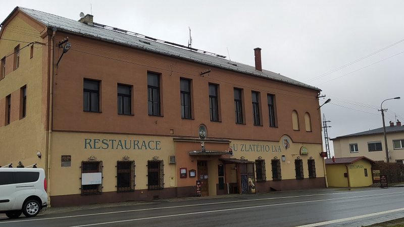
Photo: Fry72, CC BY-SA 3.0 U Zlatého Lva
Closed · opens tomorrow at 10:00
-
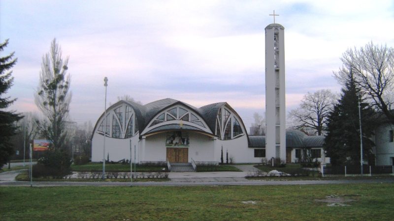
Photo: Ladin, CC BY 3.0 -
 City model
 from OpenStreetMap and ČÚZK data, ODbL Healthy Black Kale FOOD
Closed · opens at 11:00
-
 City model
 from OpenStreetMap and ČÚZK data, ODbL Innogy
Open · closes at 22:00
-
 City model
 from OpenStreetMap and ČÚZK data, ODbL Kavárna Jine Kafe
Closed · opens at 10:00
-
 City model
 from OpenStreetMap and ČÚZK data, ODbL U Jarošů
Closed · opens at 10:45
-
 City model
 from OpenStreetMap and ČÚZK data, ODbL Královské čištění
Closed · opens at 8:00
-
 City model
 from OpenStreetMap and ČÚZK data, ODbL Orlen
Open · closes at 22:00
-
 City model
 from OpenStreetMap and ČÚZK data, ODbL Stop Cafe
Open · closes at 22:00
-
 City model
 from OpenStreetMap and ČÚZK data, ODbL -
 City model
 from OpenStreetMap and ČÚZK data, ODbL -
 City model
 from OpenStreetMap and ČÚZK data, ODbL -
 City model
 from OpenStreetMap and ČÚZK data, ODbL -
 City model
 from OpenStreetMap and ČÚZK data, ODbL -
 City model
 from OpenStreetMap and ČÚZK data, ODbL -
 City model
 from OpenStreetMap and ČÚZK data, ODbL -
 City model
 from OpenStreetMap and ČÚZK data, ODbL -
 City model
 from OpenStreetMap and ČÚZK data, ODbL -
 City model
 from OpenStreetMap and ČÚZK data, ODbL -
 City model
 from OpenStreetMap and ČÚZK data, ODbL -
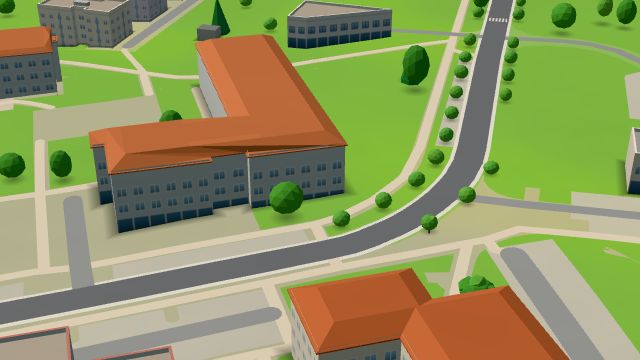 City model
 from OpenStreetMap and ČÚZK data, ODbL -
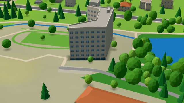 City model
 from OpenStreetMap and ČÚZK data, ODbL -
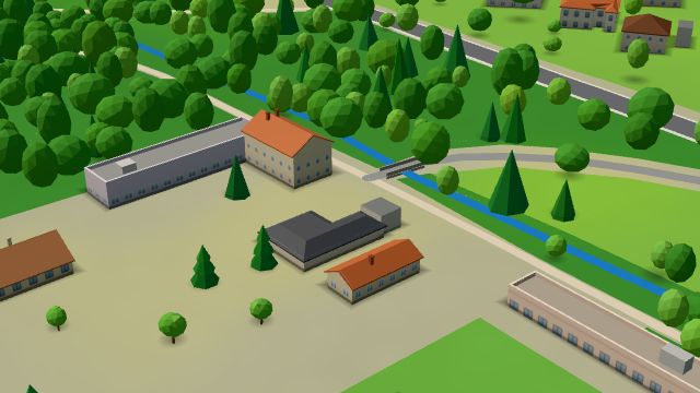 City model
 from OpenStreetMap and ČÚZK data, ODbL -
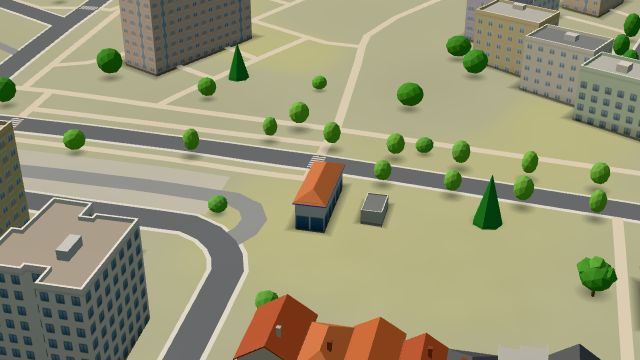 City model
 from OpenStreetMap and ČÚZK data, ODbL
What is here
- Health 10
- Restaurants 7
- Services 5
- Cafés 3
- Shops 3
- Accommodation 3
- Sport 3
- Bars and pubs 2
- Landmarks 2
- Schools 2
- Wellness 1
- Doctors 6
- Dentists 2
- Primary schools 2
- Gyms 2
- Petrol stations 2
- Churches 2
- Car washes 2
- Groceries and supermarkets 1
- Beauty and nails 1
- Car repair and tyres 1
- Physiotherapy 1
- Gifts and souvenirs 1
- Czech food 1
- Cakes and ice cream 1
- Bikes 1