


Stará Bělá
Businesses and places in Stará Bělá, Ostrava: 47 places.
Stará Bělá lies about 10 km south-west of the centre of Ostrava on the Starec stream, originally the Bělá, which gave it its name; stará, old, sets it apart from its younger neighbour Nová Bělá. First recorded in 1272, the village became part of Ostrava for good on 1 January 1975. It has the church of St John of Nepomuk, consecrated in 1801, a Hussite church from 1924 and, near the cemetery, the remains of a moated fort from around 1408, and part of the Bělský les forest park lies within it.
Results
-
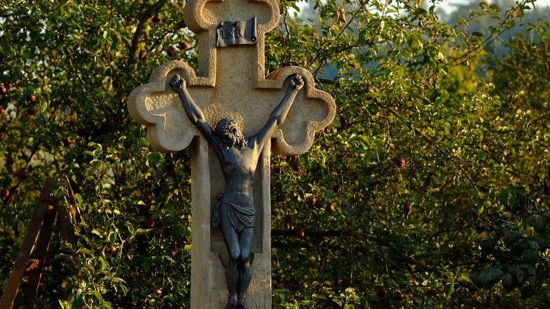
Photo: Jiří Folta, CC BY-SA 4.0 -
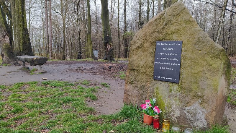
Photo: Fry72 , Karel FRYDRÝŠEK, CC BY-SA 3.0 -
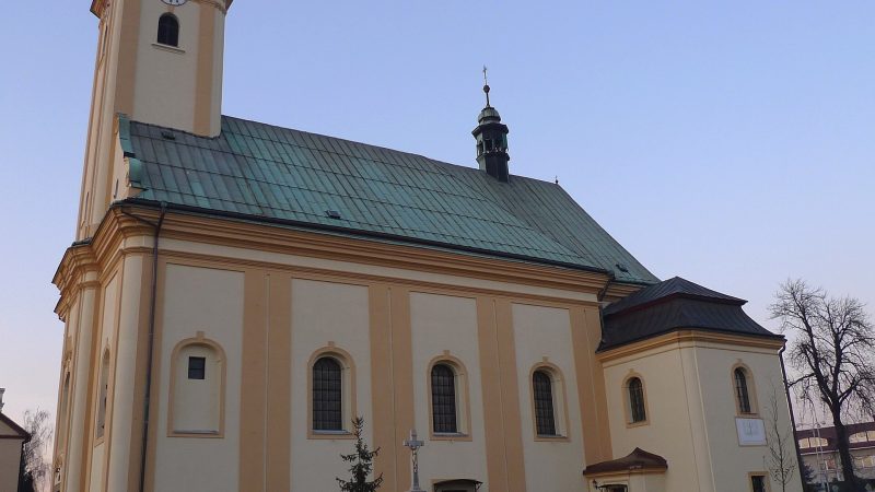
Photo: Ladin, CC BY-SA 3.0 -
 City model
 from OpenStreetMap and ČÚZK data, ODbL Pošta Ostrava 24
Closed · opens at 10:00
-
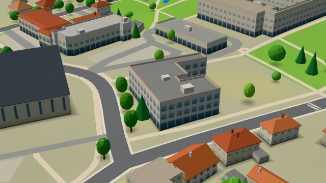 City model
 from OpenStreetMap and ČÚZK data, ODbL Katolický dům - Tosca
Closed · opens at 11:00
-
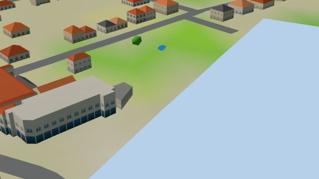 City model
 from OpenStreetMap and ČÚZK data, ODbL U svatého Jana
Closed · opens at 9:00
-
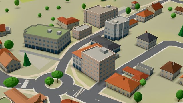 City model
 from OpenStreetMap and ČÚZK data, ODbL -
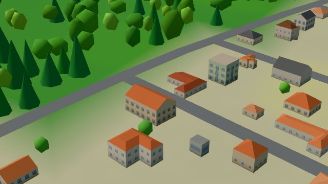 City model
 from OpenStreetMap and ČÚZK data, ODbL -
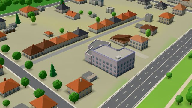 City model
 from OpenStreetMap and ČÚZK data, ODbL -
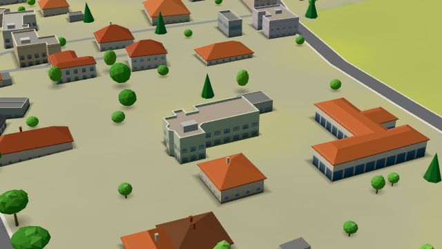 City model
 from OpenStreetMap and ČÚZK data, ODbL -
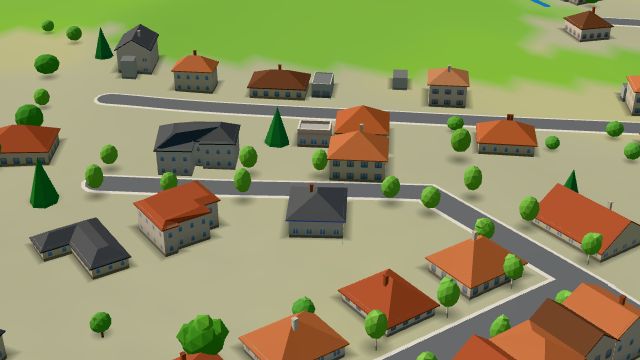 City model
 from OpenStreetMap and ČÚZK data, ODbL -
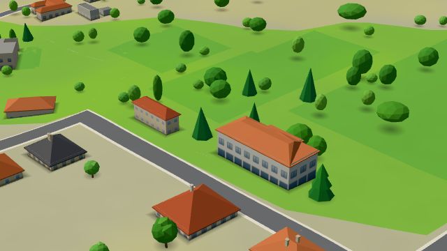 City model
 from OpenStreetMap and ČÚZK data, ODbL -
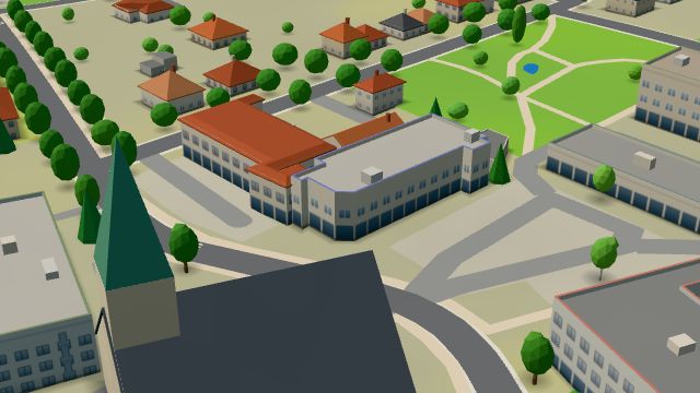 City model
 from OpenStreetMap and ČÚZK data, ODbL Hruška
Open · closes at 18:00
-
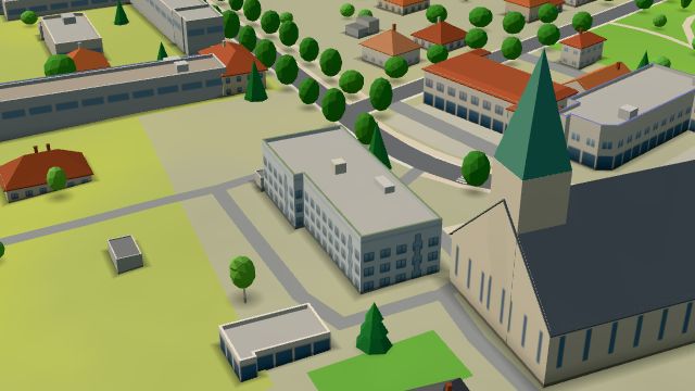 City model
 from OpenStreetMap and ČÚZK data, ODbL -
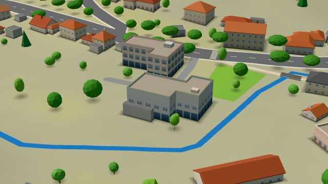 City model
 from OpenStreetMap and ČÚZK data, ODbL -
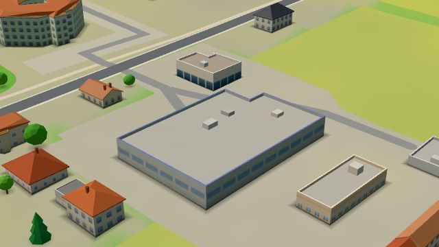 City model
 from OpenStreetMap and ČÚZK data, ODbL -
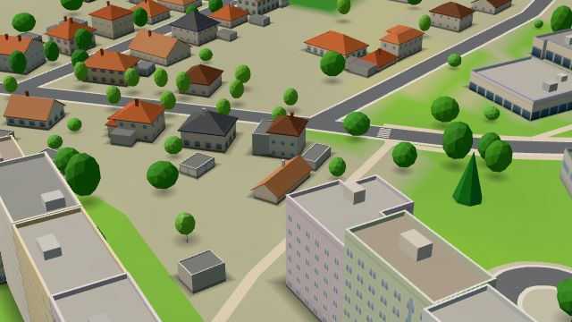 City model
 from OpenStreetMap and ČÚZK data, ODbL Posezení Pohoda
Closed · opens at 16:00
-
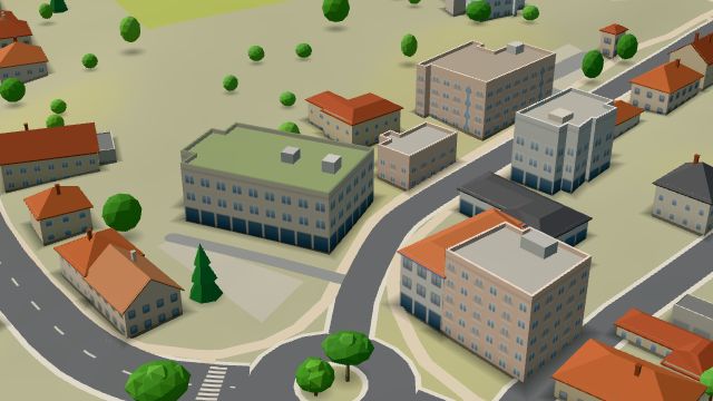 City model
 from OpenStreetMap and ČÚZK data, ODbL -
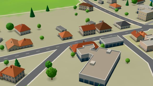 City model
 from OpenStreetMap and ČÚZK data, ODbL -
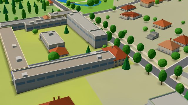 City model
 from OpenStreetMap and ČÚZK data, ODbL -
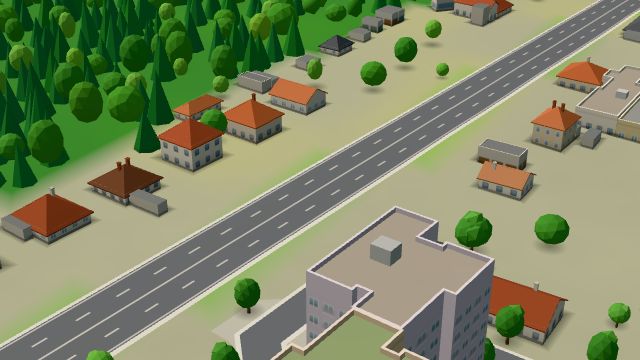 City model
 from OpenStreetMap and ČÚZK data, ODbL -
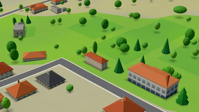 City model
 from OpenStreetMap and ČÚZK data, ODbL -
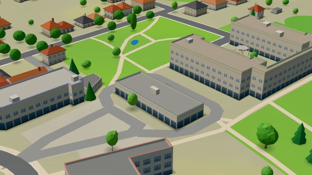 City model
 from OpenStreetMap and ČÚZK data, ODbL -
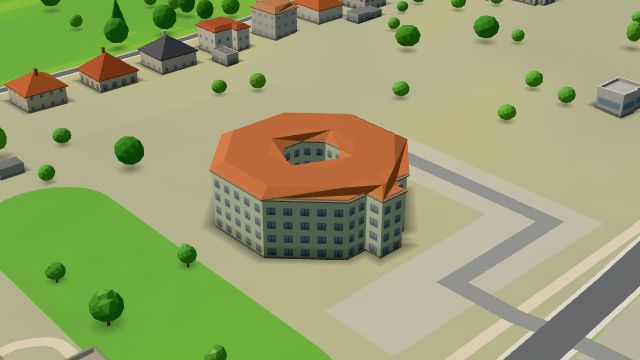 City model
 from OpenStreetMap and ČÚZK data, ODbL
What is here
- Shops 11
- Health 8
- Restaurants 7
- Sport 6
- Landmarks 5
- Schools 4
- Cafés 2
- Bars and pubs 2
- Services 2
- Doctors 4
- Groceries and supermarkets 3
- Breweries 3
- Nursery schools 2
- Primary schools 2
- Furniture and home 2
- Churches 2
- Dentists 1
- Car repair and tyres 1
- Gyms 1
- Electronics and phones 1
- Physiotherapy 1
- Pharmacies 1
- Gifts and souvenirs 1
- Cakes and ice cream 1
- Bikes 1
- Post offices 1
- Blood tests 1